Map Studio
A real radar studio, built into your broadcast.
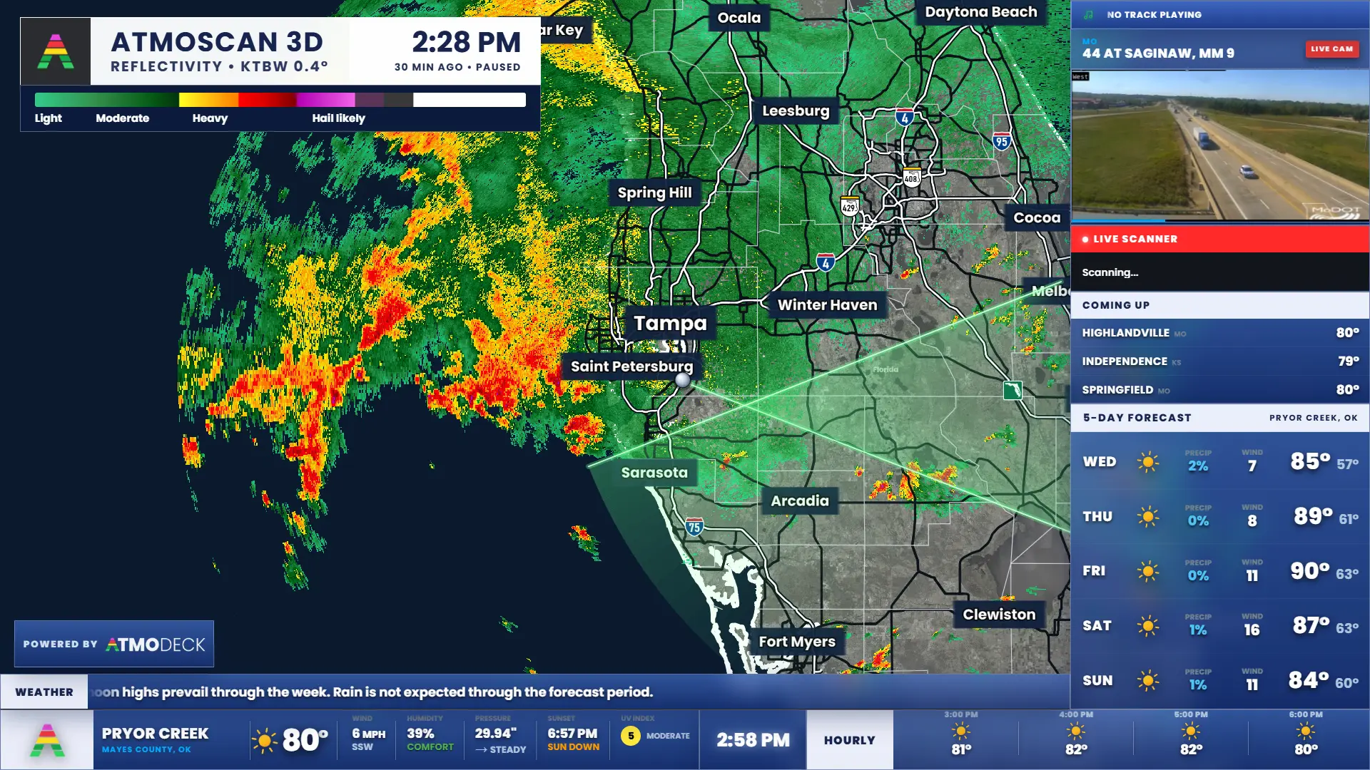
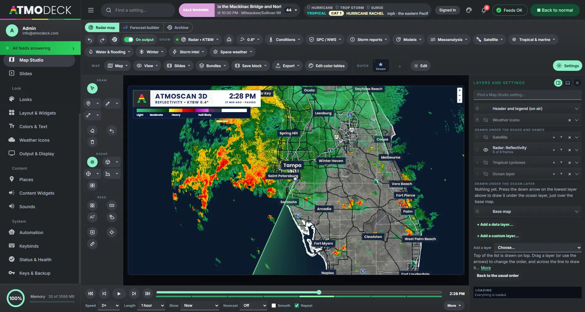
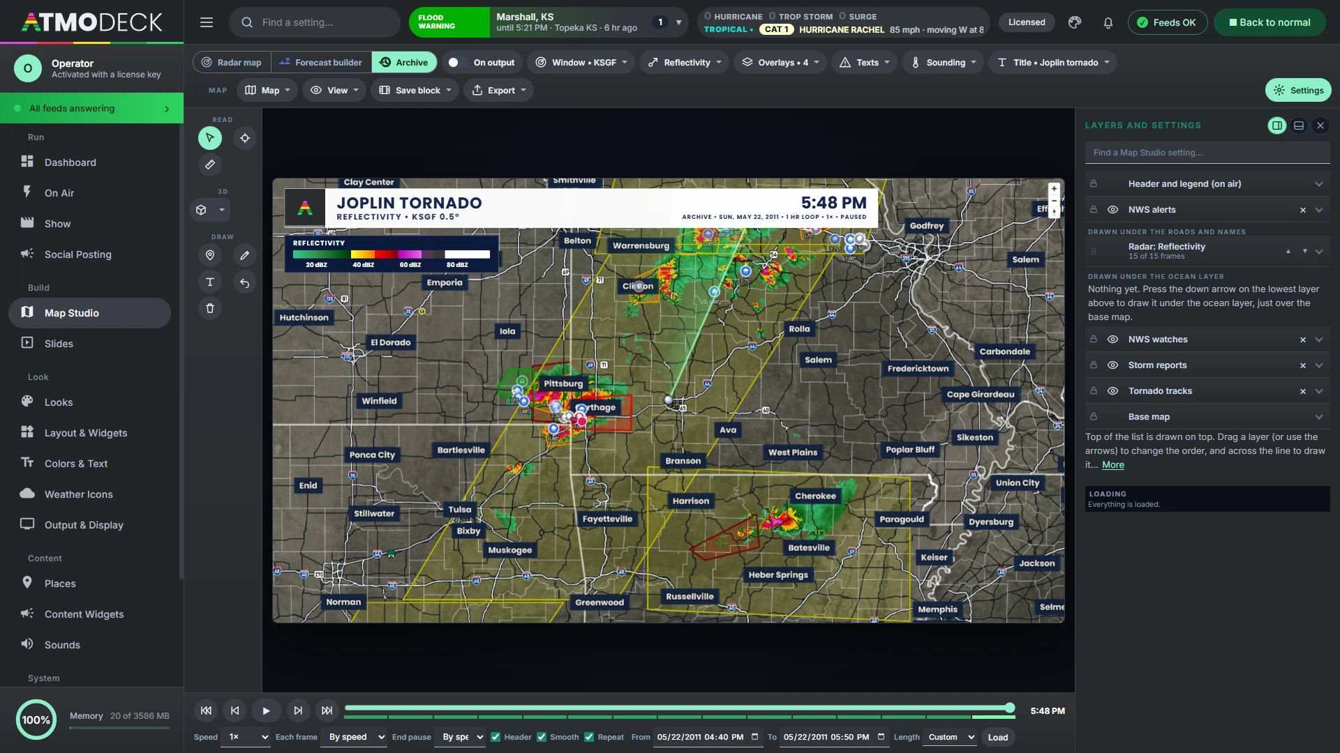
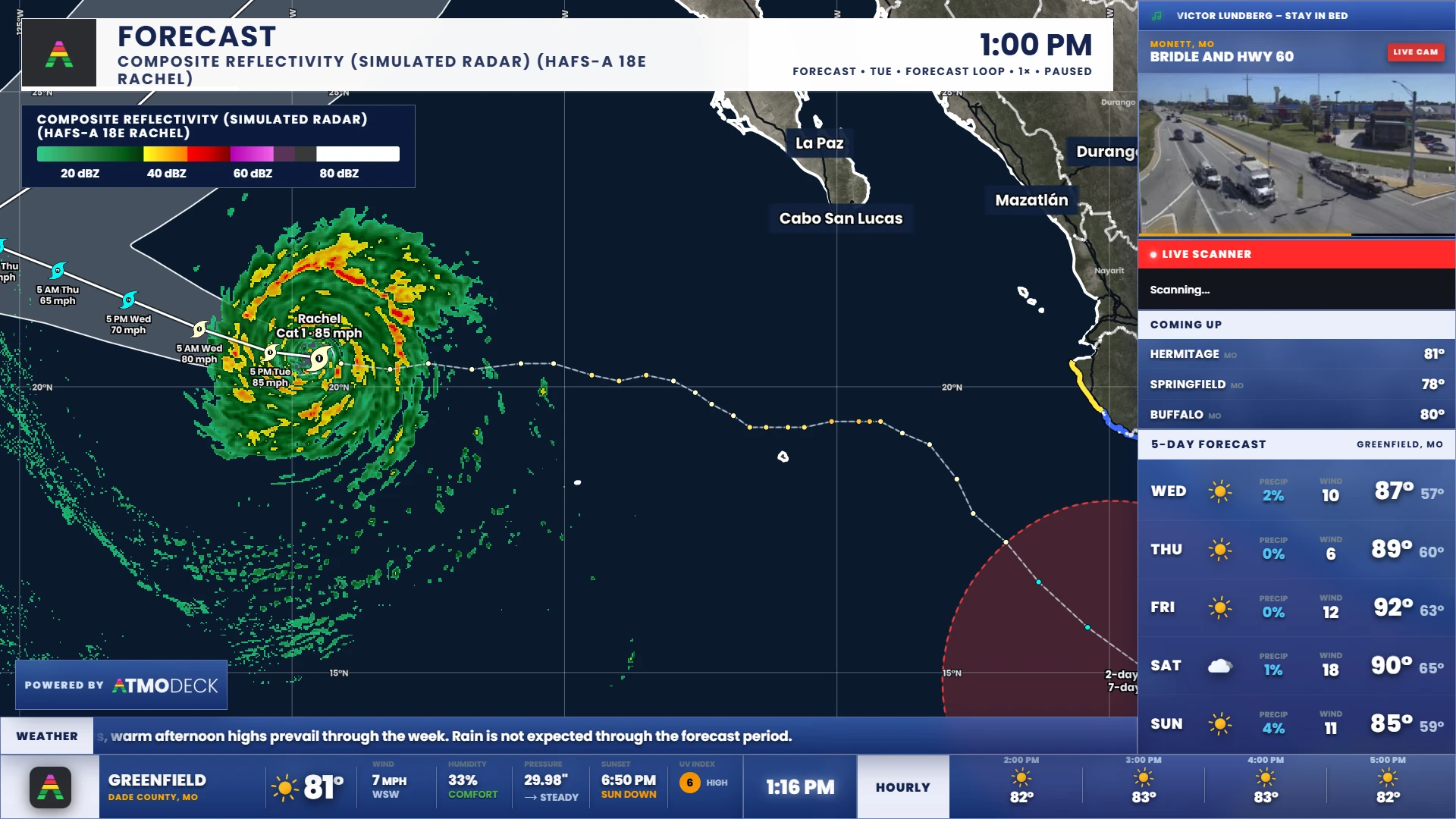
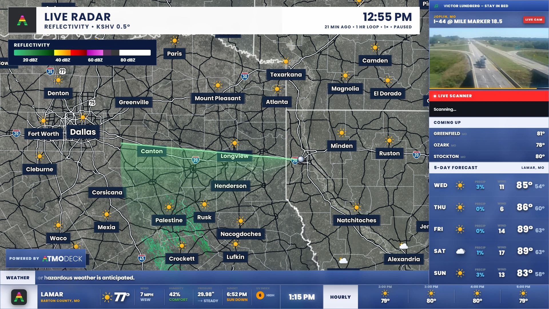
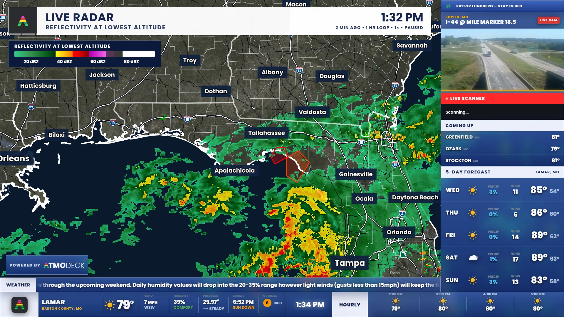
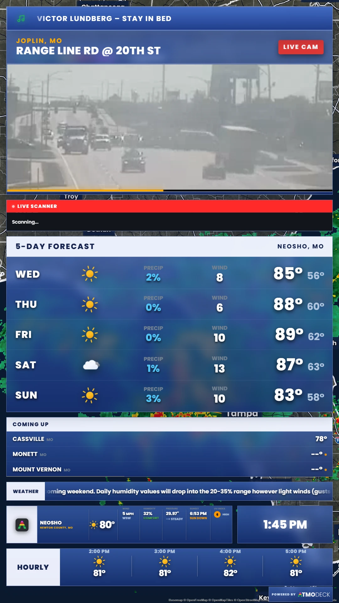
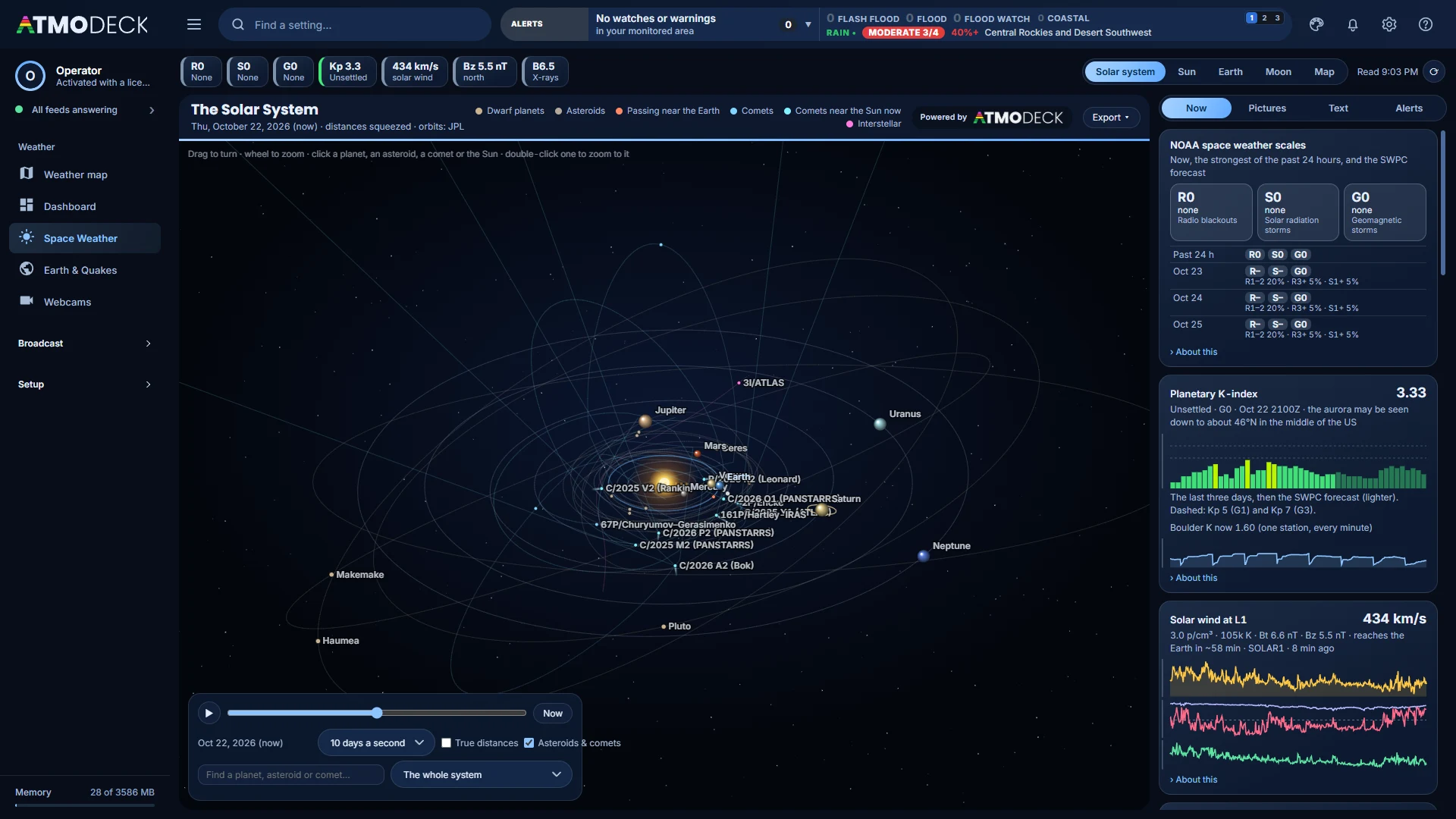
Draw the map your viewers see, from a single radar’s raw sweep to the whole country, a satellite loop, or a hurricane’s cone. You run it from the Console; the Output mirrors it, dressed like the rest of your on-air package, with the Powered by AtmoDeck badge.
Live NEXRAD, sweep by sweep
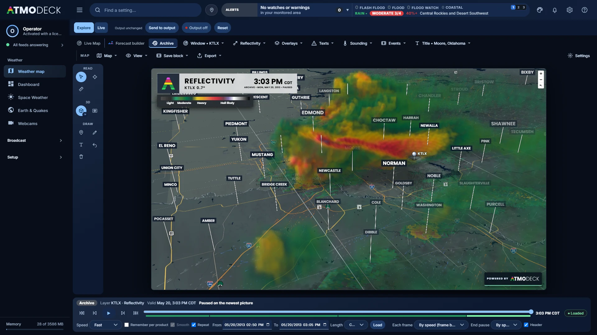
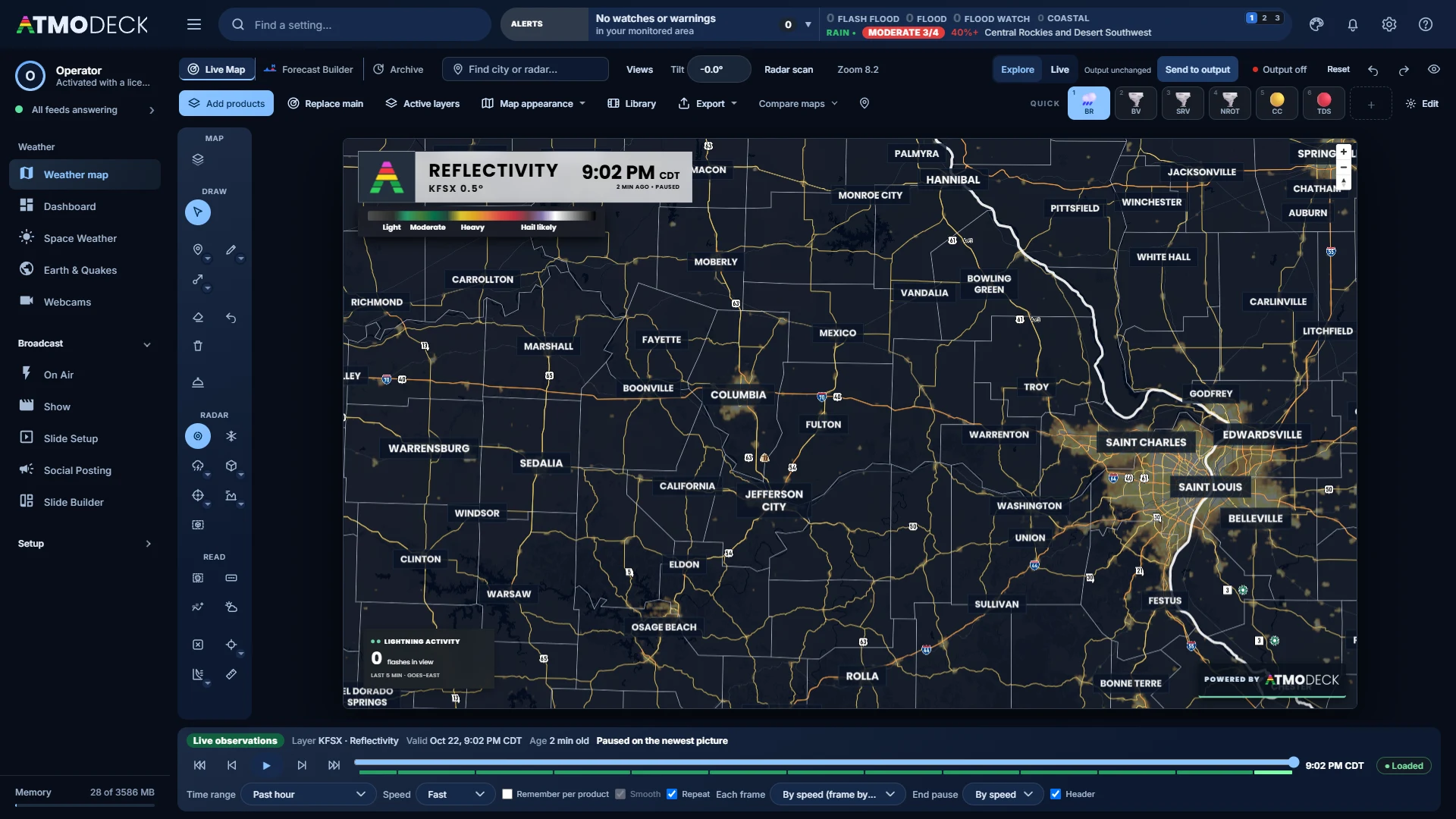
Pick any WSR-88D radar and watch its real-time feed draw wedge by wedge as the beam turns. Reflectivity, velocity, storm-relative velocity, dual-pol, rotation markers and a full 3D volume, straight from the radar’s own gates.
The whole country, in 240 products
National MRMS reflectivity, echo tops, precipitation type, rain totals, hail size, lightning and rotation tracks, plus current-conditions, forecast grids, fronts, air quality and aviation layers. Each product keeps its own colors, floor and smoothing.
3D, and Storm sky
The radar volume in 3D with real clouds, precipitation type and wind streaks, models in 3D with their wind, and Storm sky, which draws the storm as it looks.
Two, three or four maps
Panels that are each their own map, kept in step or apart: a radar beside a model, velocity beside reflectivity, today beside yesterday.
Simulated satellite
A base map of the land as a satellite sees it, with its own base color, houses when you zoom in, and a globe that becomes a planet when you zoom out.
Right-click for the science
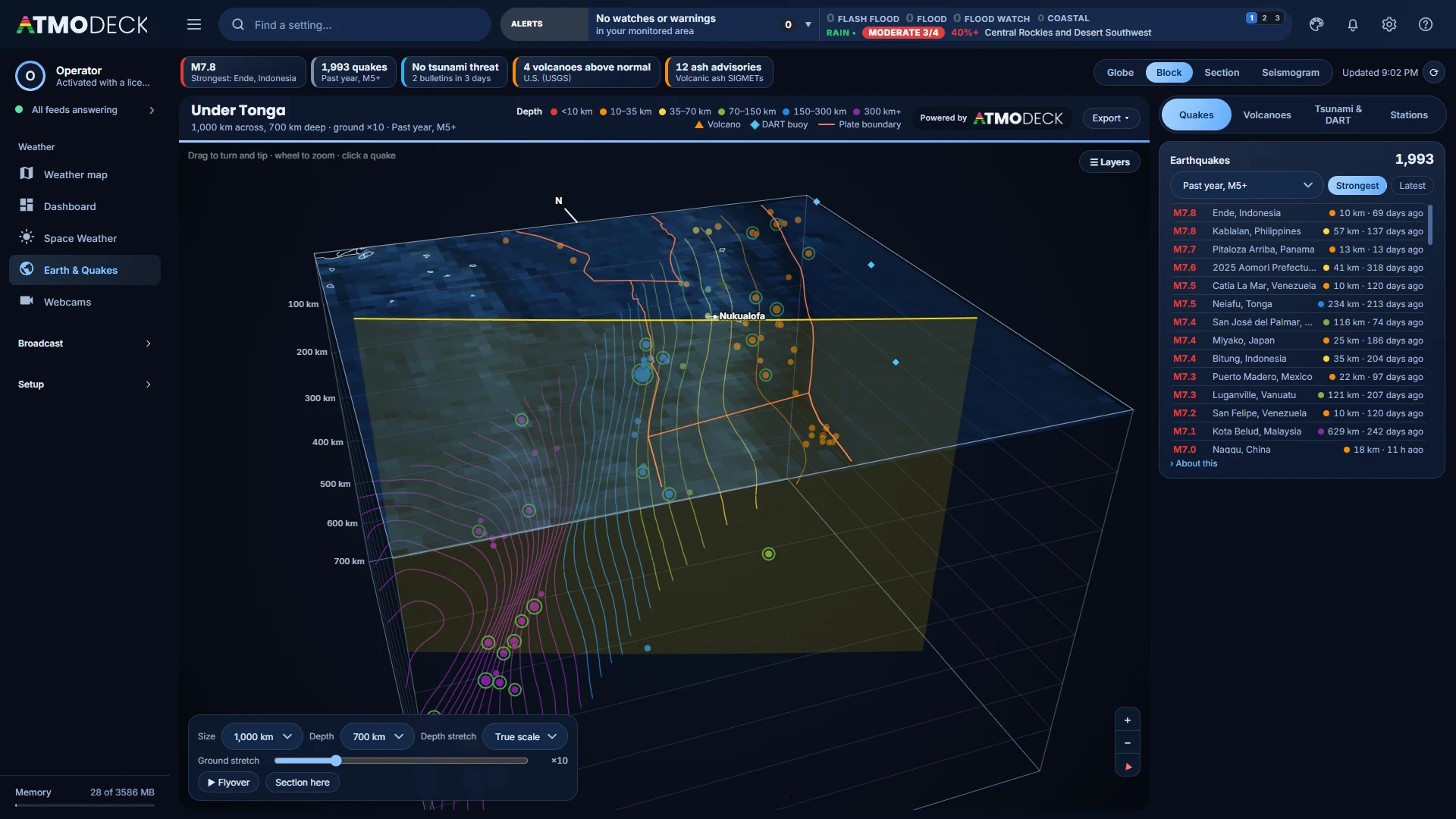
A sounding or a meteogram for any spot, mesoanalysis maps from the HRRR, live cross sections, and warning boxes with the people, hospitals and schools inside.
Draw on it, live
Telestration, storm tracks with arrival times for the towns in the way, and a Forecast Builder for fronts, highs and lows that move the way the weather does.
Export it
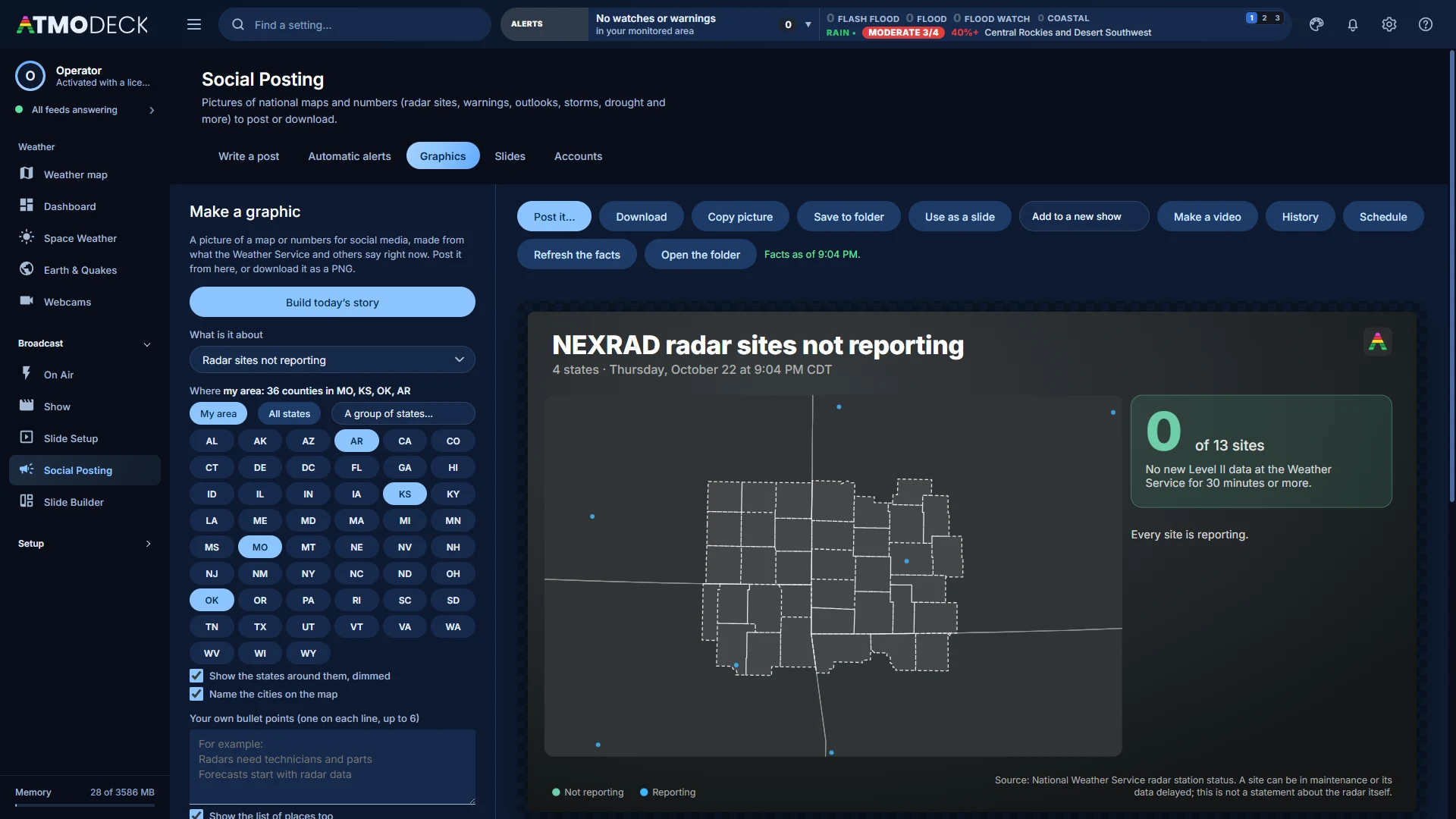
A photo, an MP4 or a GIF of any loop, in the shape you need, with the header, the legend and the badge, ready to post.